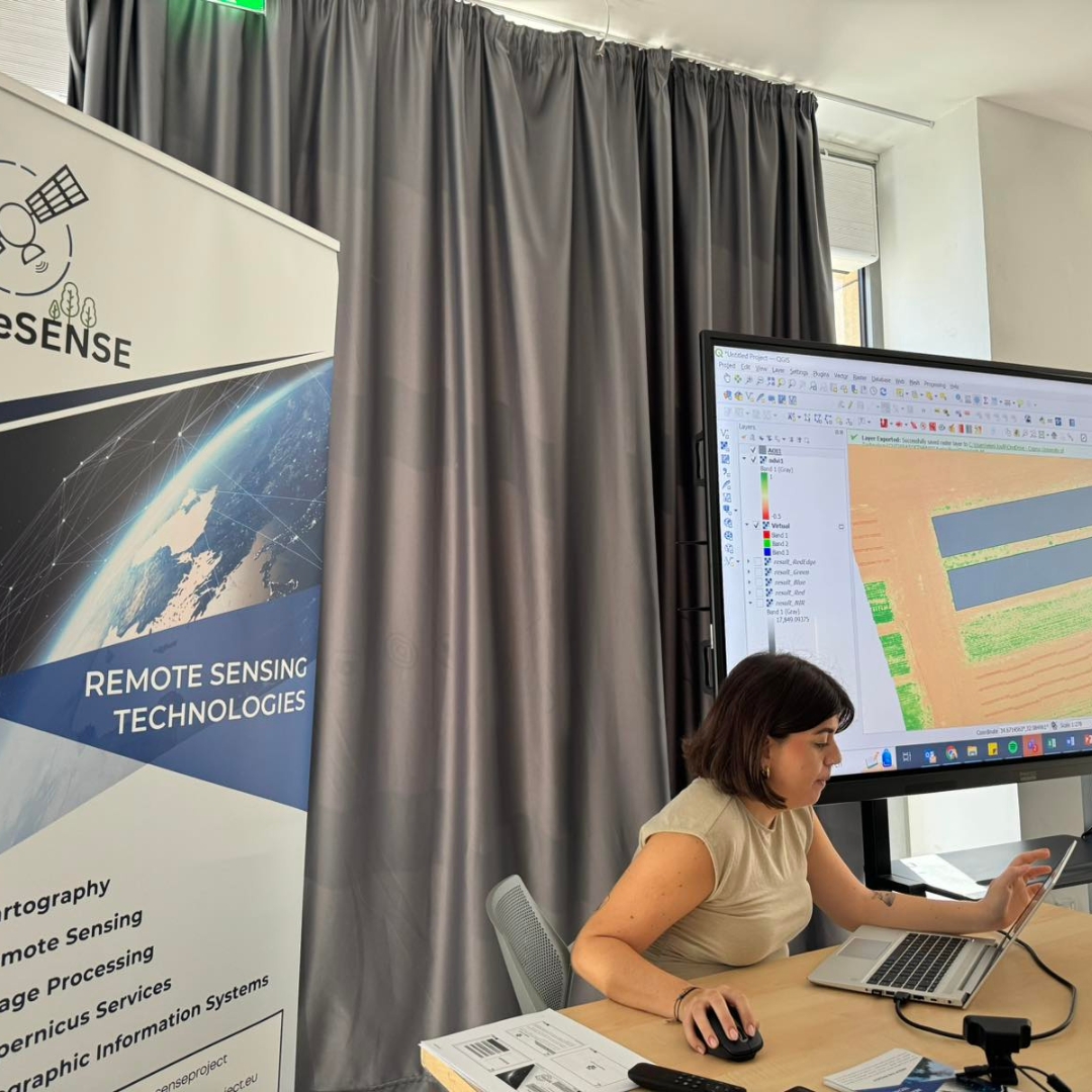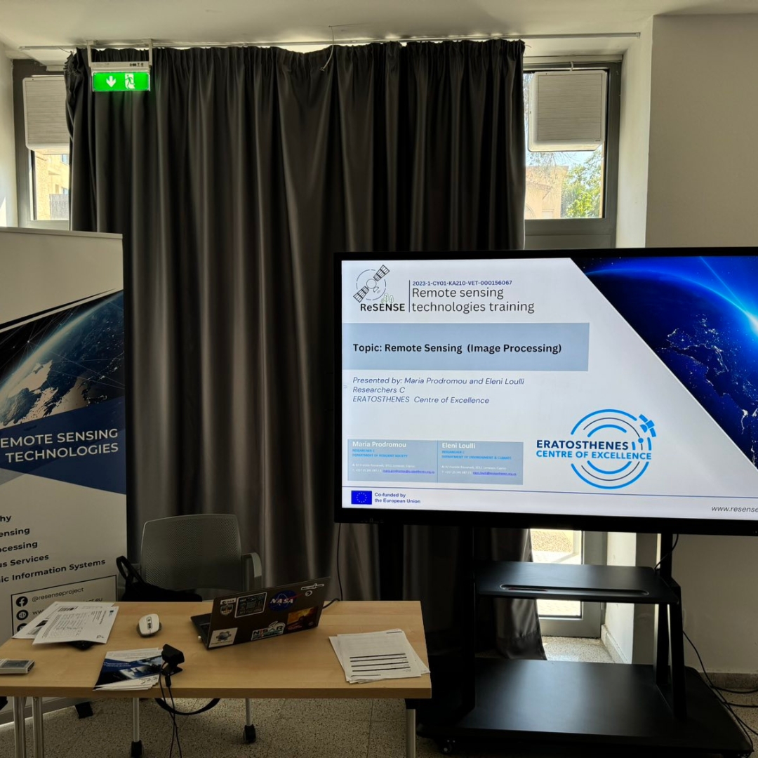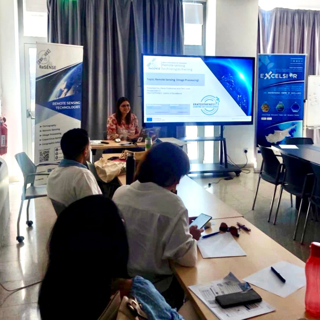
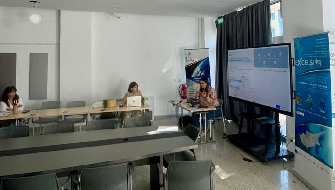
On October 10, 2024, the first workshop of the ReSENSE ERASMUS+ project took place. The workshop, titled GEE/QGIS for UAV Multispectral Image Post-Processing, was held under the Topis of Image Processing.
During the session, members of the ERATOSTHENES Centre of Excellence, Ms. Maria Prodromou and Ms. Eleni Loulli, provided valuable insights into the use of Google Earth Engine and QGIS, both open-source software tools.
They conducted a step-by-step workshop demonstrating how to use these tools for processing multispectral UAV images, focusing on spectral index calculations and statistical analysis.
The workshop was attended by members of the Cyprus Agricultural Research Institute and the Ministry of Agriculture.
If you’re interested in learning more about Remote Sensing, and GIS don’t hesitate to join our future workshops!